Help Make Cities Safer — One Crossing at a Time
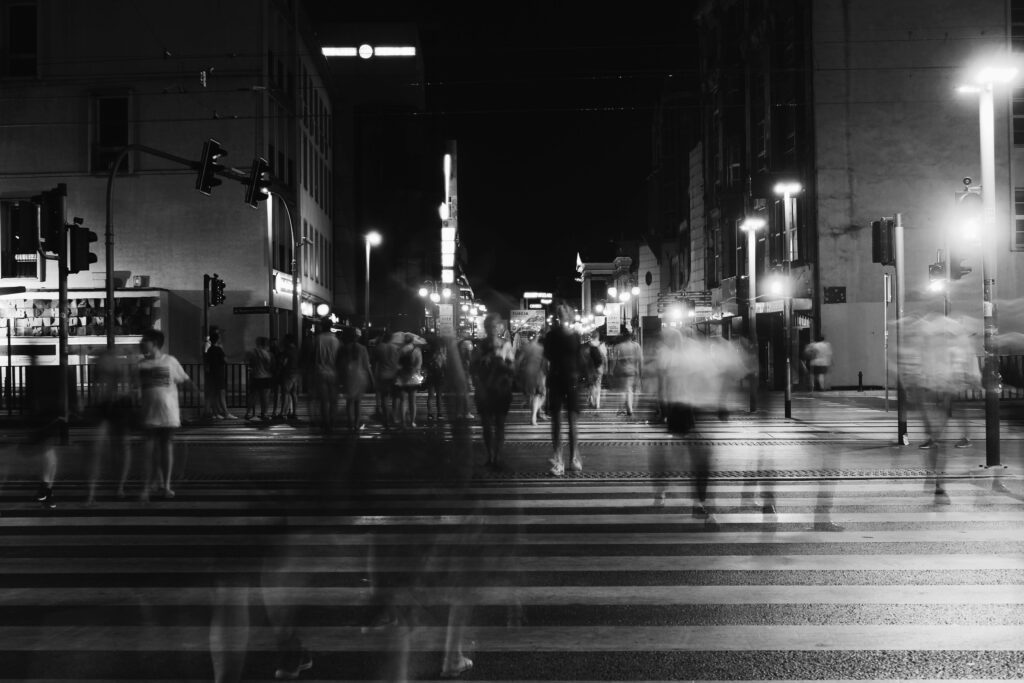
Sidewalks, crossings, and intersections tell stories too — of movement, of people, of safety. With SafeCrossing, you help uncover the hidden gaps in our cities’ infrastructure by simply exploring aerial views and sharing what you see.
About the Project
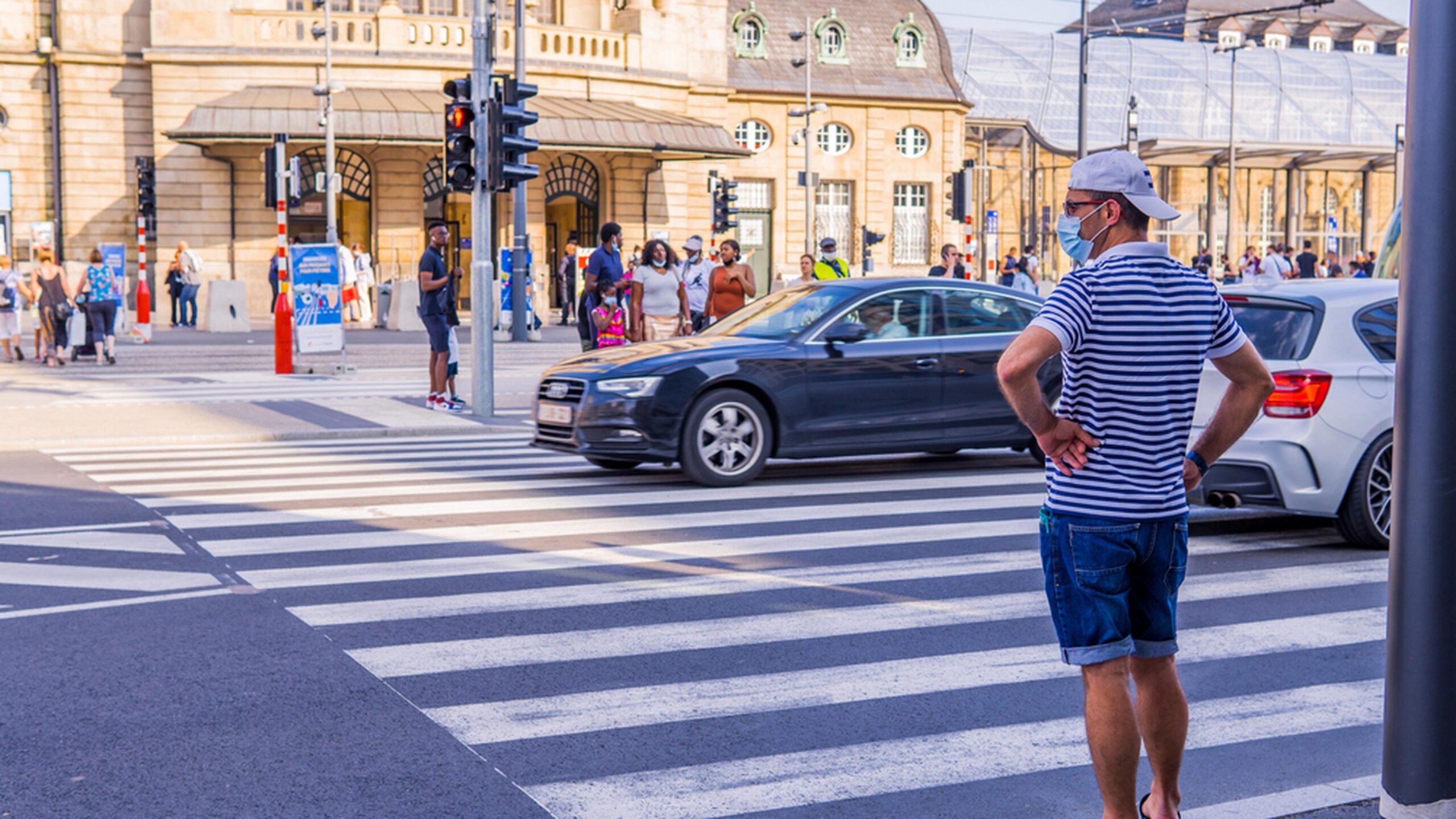
SafeCrossing is a crowdsourced platform where you help assess pedestrian crossings using aerial imagery. No special expertise required — just your eyes, and a few taps.
We’ll show you a spot on the map. You tell us: is it safe for people on foot? That’s it.
Your votes contribute to real urban safety data shared with local authorities and advocacy groups.

Where Should We Launch Next?
We’re starting in a few cities, but we’d love your input.
Tell us where you want to see SafeCrossing in action — and help your city become a leader in walkable, human-first design.

Frequently Asked Questions
What is SafeCrossing?
It’s a free web and mobile app that lets you vote on the safety of pedestrian crossings based on satellite imagery. It’s a fun, low-commitment way to support walkability in your community.
Why does this matter?
Local governments and NGOs need better data about which crossings are unsafe — and your input helps flag those spots.
Do I need any experience?
Nope. If you can recognize a sidewalk and a street, you’re qualified.
Is it really useful?
Yes! Your feedback contributes to real datasets used by city planners, advocates, and researchers.
Got questions?
Feel free to reach out.